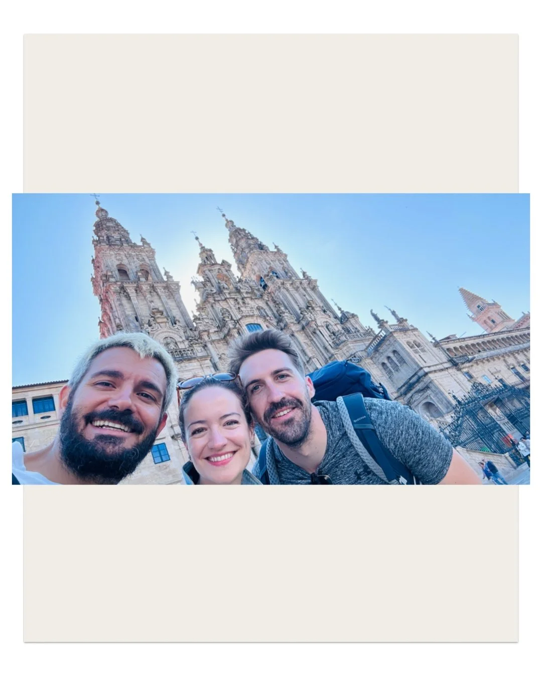
PARIS PARIS PARIS TOUR SAINT JACQUES
In this section, we discover hidden corners of Paris, exhibitions, walking routes, inspirations...
Text by Vincent Moustache with AI assistance for research, proofreading, and translation. Illustrations by Vincent Moustache.
PARIS SAINT-JACQUES
In 2013, the day I came to Paris for a job interview—which I later landed, allowing me to come live here—I saw a tower from afar and felt a compelling need to go see it. At the time, I had no idea how deeply tied that tower would be to my future path. In the center of Paris (75004), there is a tower standing in the middle of a park. It is the Tour Saint-Jacques, built in the Flamboyant Gothic style (1509–1523), and it marks the beginning of the Camino de Santiago from Paris via the Via Turonensis, which passes through Tours. Legend says the church was founded by Charlemagne, earning it a UNESCO World Heritage inscription in 1998 alongside 70 other buildings in France.
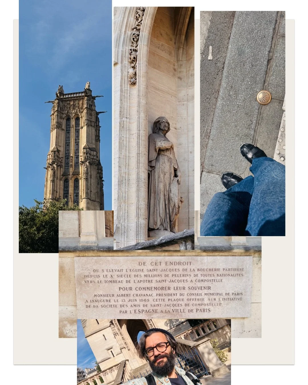
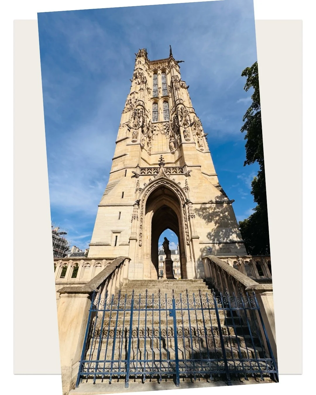
Today, the rest of the church—Saint-Jacques-la-Boucherie—no longer exists, as it was sold in 1797 to a stone merchant under the condition that he not tear down the tower. In 1824, the tower became a Tour à Plomb (shot tower) when a lead shot factory was installed inside: its 54-meter height allowed molten lead droplets to cool as they fell, turning them into lead pellets. After two fires, the Paris City Hall bought the tower, and it was restored in the 1850s by Théodore Ballu. A beacon was installed at its summit in 1850, followed by a meteorological station in 1891. Next to the tower stands the statue of Blaise Pascal, the physicist who used the tower to demonstrate the weight of air in 1648 (WIKIPEDIA).
THE CAMINO THROUGH PARIS
Let's travel back from Galicia to our favorite pastry-filled city, Paris, and walk this trail right through the capital.
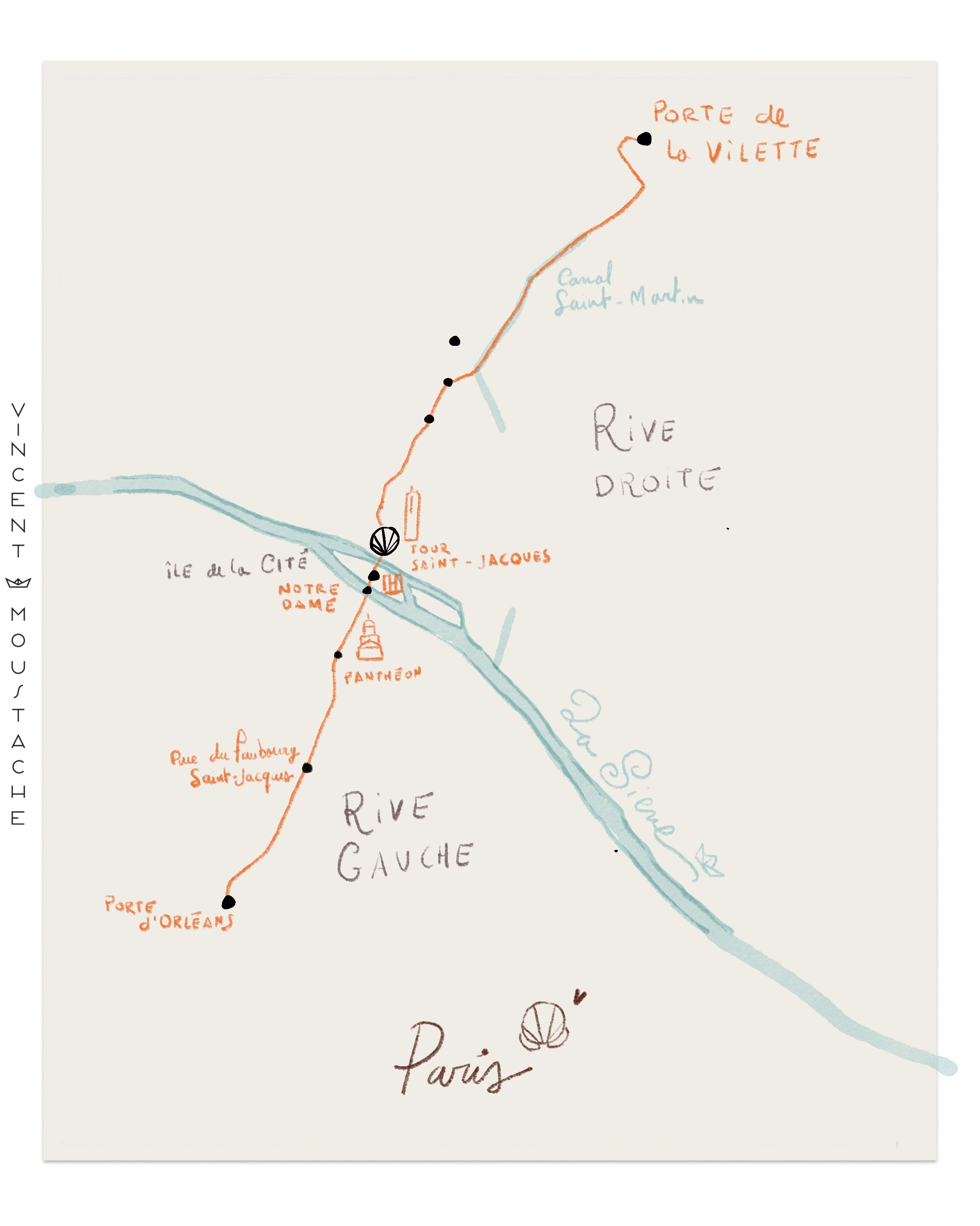
The route cuts across the French capital from north to south along an itinerary of about 18 kilometers (officially recognized as the GR 655 long-distance hiking trail). It crosses the city's most historic spots following the ancient Roman axis.
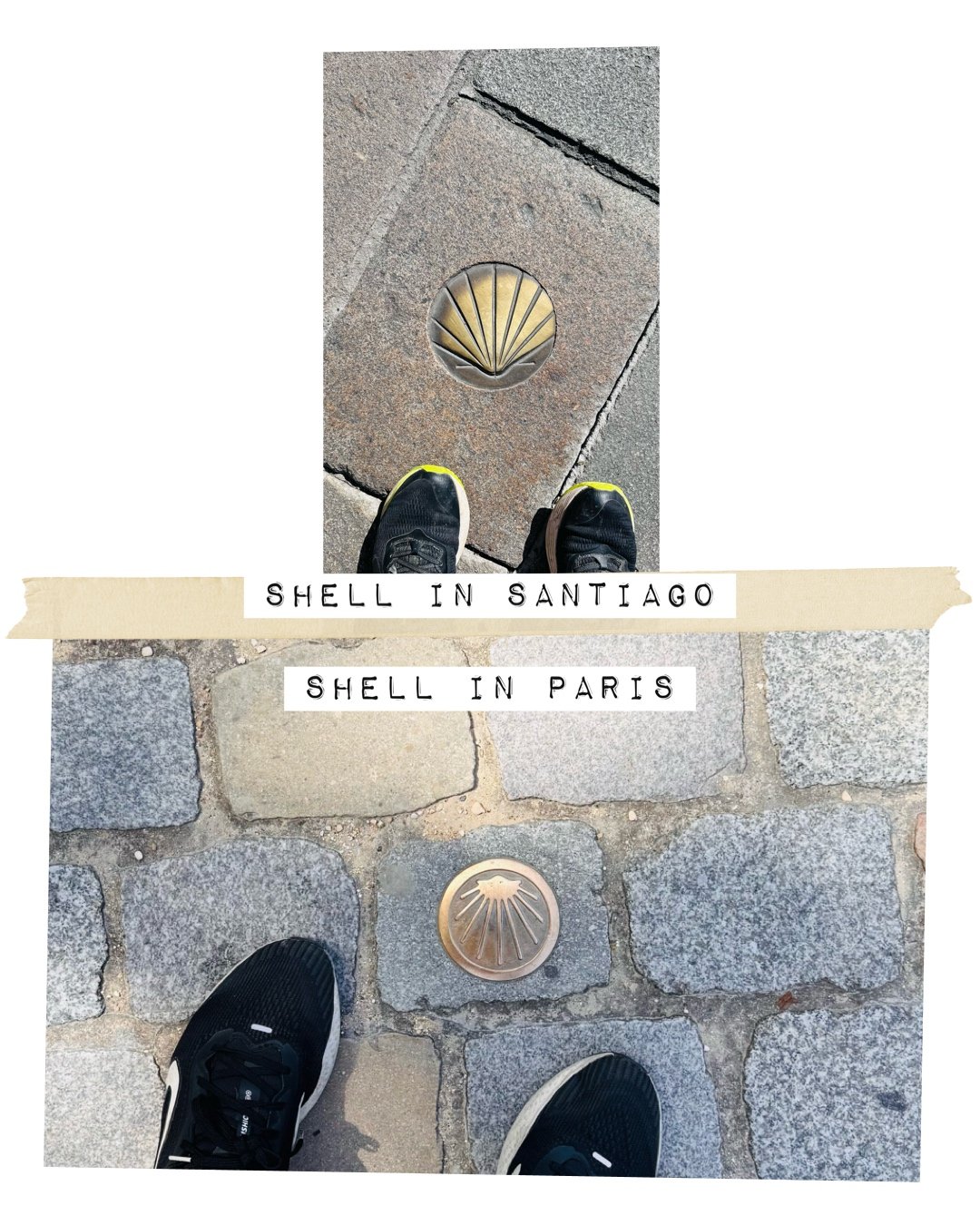
Step by Step: From the Northern Entrance to the Southern Exit. If you walk this route through Paris, you will spot metal plaques on sidewalks and corners featuring the golden scallop shell, alongside red-and-white painted marks (GR 655) guiding the way.
1. Northern Entrance (Porte de la Villette)
Arrondissements 19, 10, and 11 The trail enters Paris through the Parc de la Villette and descends along the Canal Saint-Martin until it reaches the intersection with the major central avenues (Gare de l'Est / Boulevard de Magenta).
2. Historic Heart (Rive Droite / Right Bank)
Arrondissements 10, 3, and 4 It continues down Rue Saint-Martin, passes by the Church of Saint-Merri, and arrives at the city's most famous Jacobean landmark: the Tour Saint-Jacques (the sole vestige of the medieval church where pilgrims used to gather).
3. Crossing the Seine (Île de la Cité)
Arrondissement 4 From the Tour Saint-Jacques, you cross the Pont Notre-Dame onto the Île de la Cité, passing right next to the Cathedral of Notre-Dame de Paris.
4. Latin Quarter (Rive Gauche / Left Bank)
Arrondissement 5 You leave the island via the Petit Pont and step into the Latin Quarter through the historic Jacobean axis: Rue Saint-Jacques. You climb up the Montagne Sainte-Geneviève (passing close to the Pantheon and the Sorbonne).
5. Southern Exit (Porte d'Orléans)
Arrondissement 14 and beyond You walk straight down Rue du Faubourg Saint-Jacques and Avenue René Coty, passing near Parc Montsouris until you reach Porte d'Orléans, where the trail leaves the city limits of Paris to enter the southern metropolitan Coulée Verte.
VIA TURONENSIS
The Camino de Santiago starting from Paris is historically known as the Via Turonensis (or the Tours Route). The path stretches approximately 1,000 kilometers across France until it connects at Saint-Jean-Pied-de-Port with the French Way. It is the northernmost Jacobean route in France and was traditionally chosen by pilgrims coming from northern and eastern Europe (Flanders, England, Germany, or the Netherlands).
Key Fact: It is the flattest and most physically accessible French route, making it ideal for walking or cycling. It crosses vast plains, forests, and river valleys before reaching the Pyrenees.
THE OTHER WAY
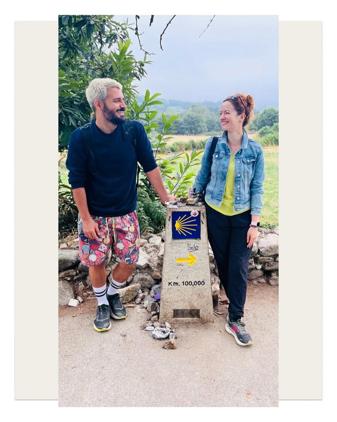
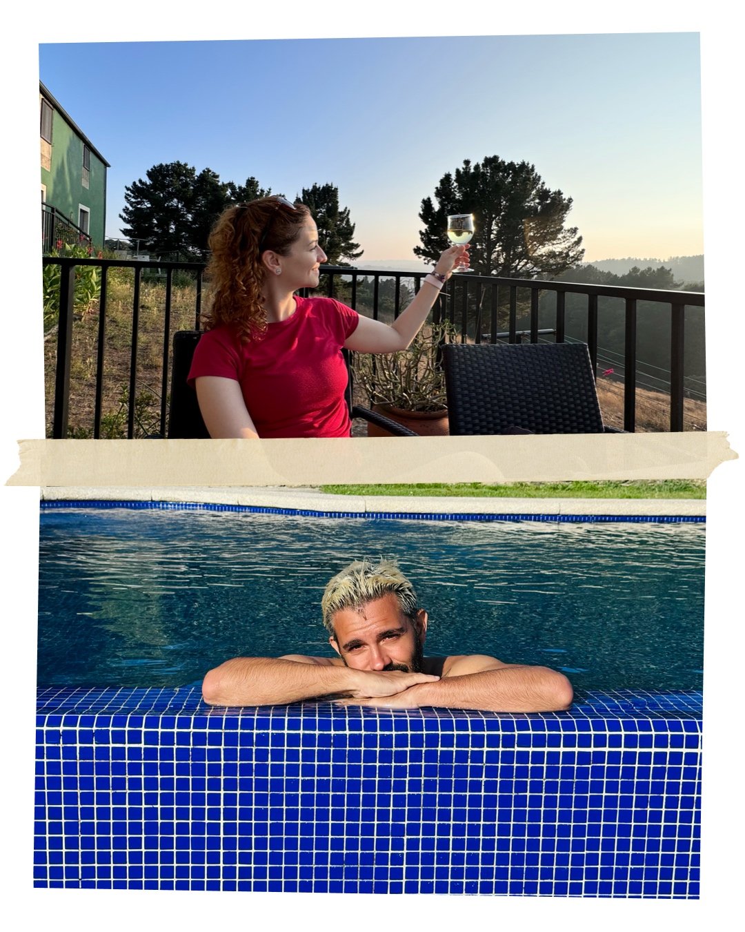
In 2024, Mimi and I went on an adventure to walk the Camino de Santiago—specifically the French Way, the southern route. It was our first time doing the Camino, so we decided to avoid suffering and create our own version. Traditional stages can be erratic; you might walk very few kilometers one day and a whole bunch the next. Instead, we—she calculated it, she planned the whole trek—broke down the entire journey into consistent 7-kilometer stages and booked hotels, making sure to pick ones with a swimming pool whenever possible. If I could, right now I’d pack up and head back there with her.
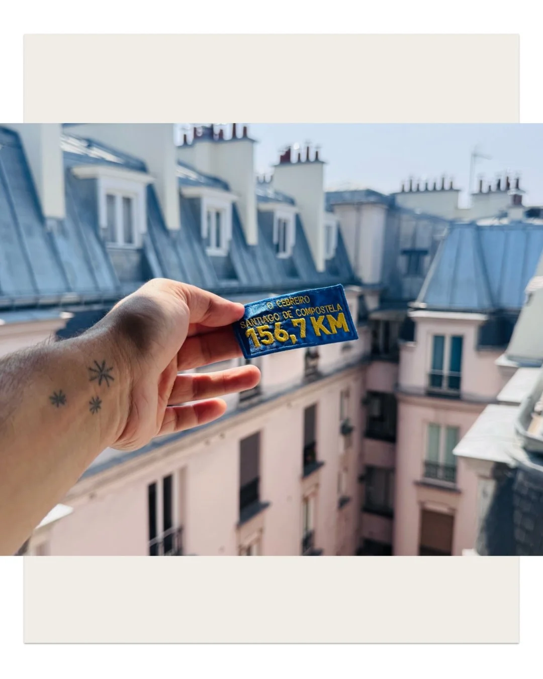
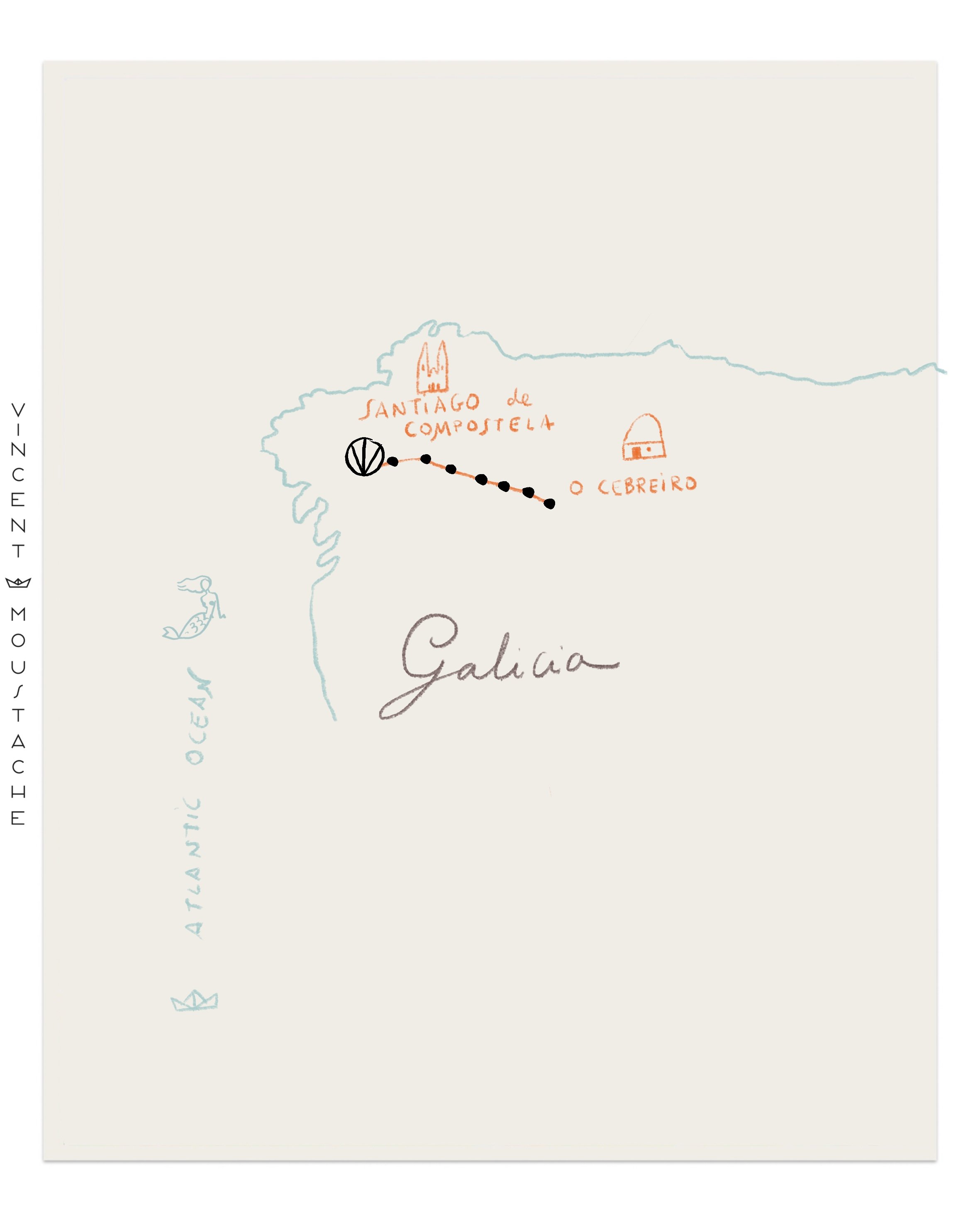
All of this is to tell you, dear croissant, about an anecdote I haven't shared yet: when we arrived, we started the Camino backward. We began in a charming ancient village where people don't usually start the route, called O Cebreiro, and Mimi wanted to see the Hito (milestone marker). The hito is a stone that marks the boundary of an Autonomous Community, and to see it, we had to walk backward—reach O Cebreiro and "retrace" our steps.
The first things we saw were spectacular views over a valley, and we started the route passing pilgrims coming toward us from the opposite direction (normally you walk in the same direction and see people from behind; nobody walks directly at you). With the sunset initially at our backs, we then walked straight toward it. At that moment, we realized that ours wasn't the standard path; it was the other way—our path. Another day I'll tell you more about the Camino de Santiago, how magical it is, how good it feels to do it, and the surprises you encounter along the way, like Jose Miguel.